
Go Take a Hike!
The Pino Trail Offers Great Views Close to Home
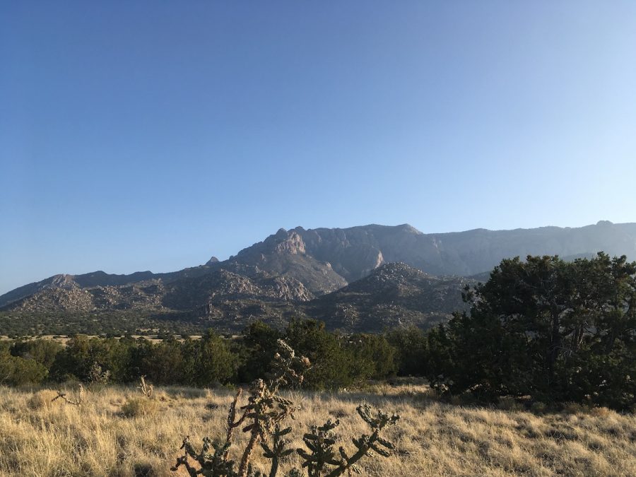
Spectacular views abound from both ends of the Pino Trail.
September 24, 2020
The Pino Trail (140) is an Albuquerque classic that rises 2760 feet before arriving at a ridgeline that offers excellent views to both the east and west. Regrettably Pino is also very popular, and many hikers were unmasked. However, it is a very easy trail to access, and is just 15 minutes from Albuquerque Academy. It also offers the best views on the west side of the Sandias. Pino is an out-and-back, which means that it can be easily lengthened or shortened to taste. 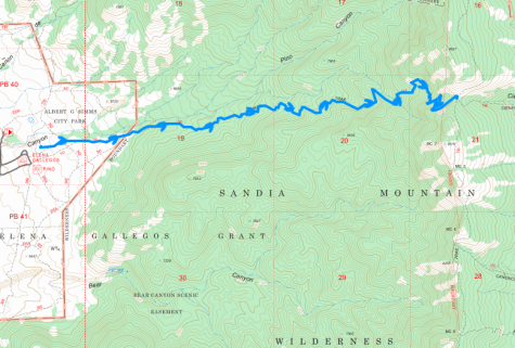
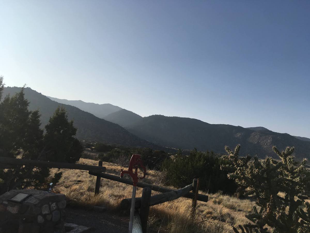
Pino starts out at Elena Gallegos Trailhead. From Tramway and I-40, head north on Tramway. After around 6.2 miles turn east onto Simms Park Road, the first right turn north Academy Blvd. There is no stoplight and as a result it is very easy to miss, as I did. Simms Park Road winds for a few miles through a residential area. The road is very well marked and eventually leads directly to the entrance for Elena Gallegos. Parking costs two dollars on the weekend and one dollar during the week. By the time I arrived at 8 on a Sunday, the lot was around 90 percent full.
Many signs in the lot point to the start of Pino trail, and it is very easy to find. The trail starts out at 6,470 feet headed east. After 0.3 miles, Pino intersects trail 342, which runs roughly north-south. Signage will point you straight for another 0.1 miles where Pino is joined by Trail 141. The markings here are very clear, and the trail is easy to follow. After another 0.4 miles, Pino will intersect trail 342. Again, signage here is abundant, and route finding could not be simpler. Just past this intersection is the wilderness boundary. Up to the wilderness boundary, the trail is fairly flat and cuts a reasonably straight path through fields of Cholla, Prickly Pear, Yucca, and short Pinions and Junipers.
Just past the wilderness boundary, the trail starts rising. Pino Trail follows its namesake arroyo in this section and the vegetation immediately becomes more lush. The trail winds around many large boulders, and I passed a group of people with a crash pad for bouldering. The dry grasses give way to scrub oak a mile past the wilderness boundary. Another 0.5 miles further, the oak is joined by looming Ponderosa pine trees. The trail climbs steadily in this section and is often wide enough for two to walk abreast. In this portion of the trail, I passed quite a few people. Many wore masks, and either waited for me to get off the trail while they passed, or stepped off themselves. However, I encountered several groups of hikers that flaunted masks and yet made no attempt to pass safely.
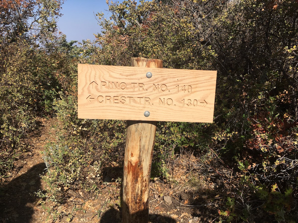
Around 2.5 miles past the wilderness boundary, Pino cuts back toward the center of the arroyo, and there are a number of rivulets that cross the trail. This time of year, only one had enough water to warrant notice, and it sported a miniature waterfall. After 0.5 miles, Pino cuts away from the center of the arroyo and returns to the Gamble Oak and Ponderosa, now joined by large spruce. This portion of Pino trail is markedly less maintained. A few large trees have fallen across the trail. In one spot, the trail seems to end where a large spruce has blocked the way. However, by simply ducking under the branches, I was able to continue. In this segment of trail, there are quite a few misleading trails that branch off of Pino. These are just to prevent water erosion and all peter out quickly. Just 4.4 miles from the trailhead, Pino intersects the South Crest Trail (130). While there are some views to both the east and west here, there is a rocky meadow just a quarter mile south on the South Crest Trail, that proved to be a great spot to eat some food and enjoy views on both sides of the mountain.
-
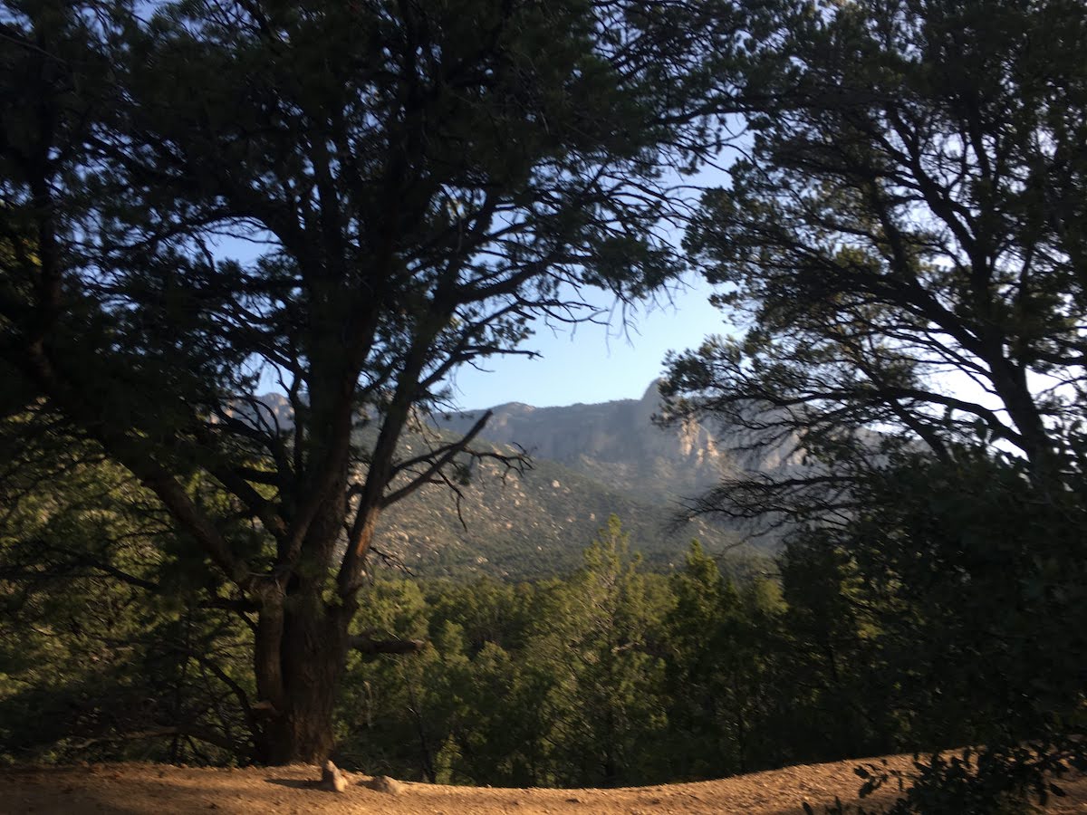
The sun was still waking up at the start of this late summer hike.
-
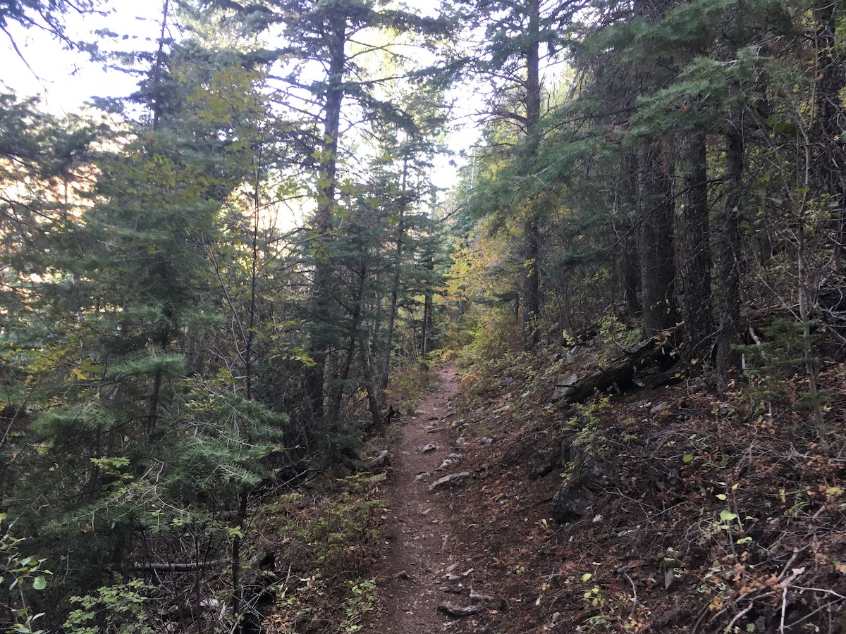
The lower part of the trail winds through beautiful Pino and Juniper forest.
-
The trail winds through beautiful forest.
-
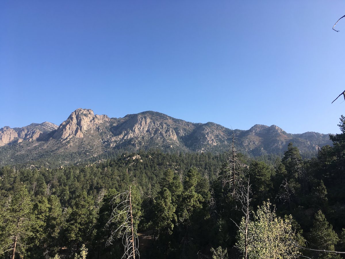
The trail periodically opens for spectacular views of the crest.
-
In case you didn’t know you have reached the crest!
-
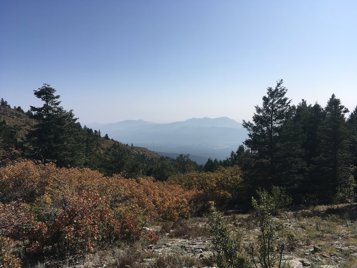
despite the hazy of out of state fires, the view to the northeast is still pretty good.
-
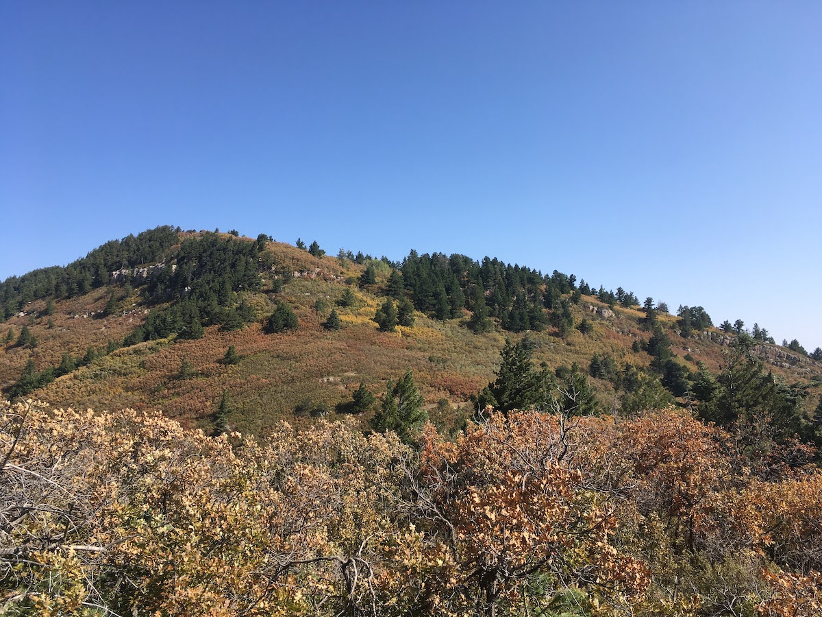
Near 10,000′, Fall’s advanced guard shows its colors.
I decided to turn around at the meadow on the ridgeline, making the hike almost exactly 9 miles. With a few breaks to eat and drink, the whole trip took under 4.5 hours. Though long and steep, the trail is well-maintained helping to earn it a 3.5 out five on the difficulty scale. The descent takes the exact same path as the ascent. In some areas, the thin covering of gravel atop rock makes for loose footing, especially when avoiding anti maskers.
Expect traffic on the Pino Trail. But if you are good with that, this a is a beautiful hike close to home.